How Geophysical Methods Detect Gold Mineralization Targets
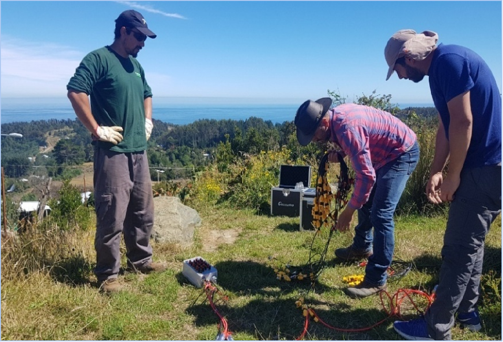
In gold exploration, teams often spend months mapping and sampling difficult terrain before selecting locations to drill. A gold exploration project in Pará, Brazil, illustrates how electrical resistivity and induced polarization (IP) surveys can narrow the search by highlighting areas worth further investigation.
Early-stage exploration teams have to decide which of several plausible targets warrant drilling. Where the geological model predicts a measurable electrical contrast, resistivity and IP surveys can help screen targets associated with altered rock or disseminated sulfides.
On the Brazilian project, the team used a Geomative GD-10 Supreme 2D+/3D+ high-density resistivity and IP configuration with 24 non-polarizing electrodes. The modular GD-10 product line also supports surface, tunnel, borehole, and underwater survey layouts with compatible accessories.
During the survey, the system injects current into the ground and measures voltage responses across different electrode combinations. Resistivity data can help map electrical contrasts between rock units, while IP data can highlight chargeable materials such as some disseminated sulfides. After processing, the measurements can be displayed as resistivity and chargeability sections for geological interpretation. The GD-10’s field display also lets crews review questionable readings and repeat measurements while the survey line is still in place.
Geomative’s published case shows how electrical survey results can support the interpretation of potential mineralized targets. Similar responses can arise from different geological causes, so teams assess the anomalies alongside mapping and geochemical evidence. Appropriate sampling, drilling, and laboratory assays are used to establish whether gold mineralization is present.
For teams evaluating survey equipment, the Brazil case illustrates how a high-density resistivity and IP layout can help prioritize targets. The choice of instrument and array depends on target depth, expected resistivity and chargeability contrasts, terrain access, and the acquisition rate the project requires. Check the electrode layout and simultaneous receive-channel count separately when estimating survey coverage and field time.
About Geomative
Founded in 2011 and headquartered in Shenzhen, China, Geomative Co., Ltd. develops geophysical instruments and digital subsurface solutions. Its products include resistivity and induced polarization systems, transient electromagnetic systems, and the DIGspace geoscience platform. The company reports serving customers in more than 50 countries and regions across mineral exploration, groundwater investigation, environmental monitoring, and related engineering sectors.
Media Contact
Geomative Co., Ltd.
https://www.geomative.com/
Geomative Co., Ltd.
About Author